Central Government Approves Macao’s Customary Water Management Perimeters
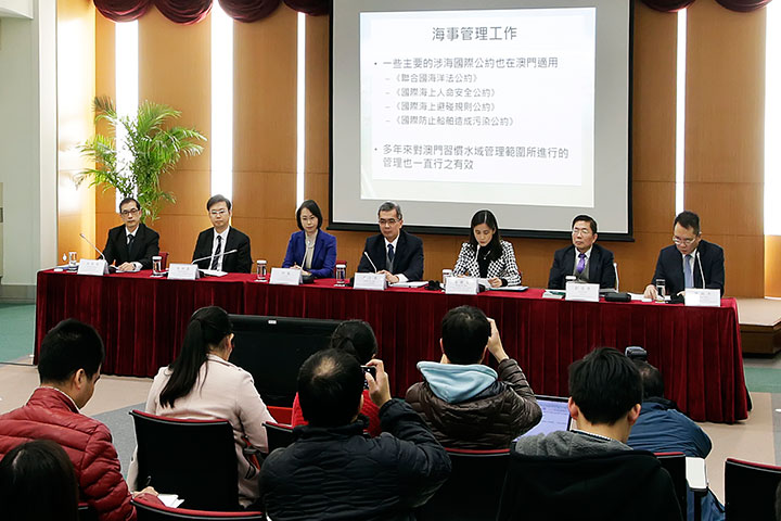
Further information on the demarcation of Macao’s maritime and land boundaries is announced by government officials during a press conference organized by the Government Spokesperson’s Office (Photo provided by Government Information Bureau)
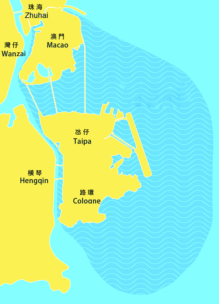
MSAR receives approval to manage 85 square kilometres of newly demarcated waters (Photo provided by Government Information Bureau)
On 20th December 2015, China's Premier Li Keqiang signed State Council Order No. 665 authorising a new administrative division map for the MSAR which approves the territory's management of its newly demarcated 85 square kilometres of waters in addition to the administration of the land area where the Border Gate with Zhuhai is located.
In a written statement, MSAR Chief Executive Chui Sai On said the waters managed by the Macao SAR, but owned by the State, would be administered according to four principles enshrined in law as follows:
1. Respect the Central Government's jurisdiction over defence and foreign affairs matters in relation to the newly demarcated boundaries.
2. Diligently and effectively perform its administrative role in the new areas placed under its administration.
3. Apply scientific principles to its management. Any fresh proposal for land reclamation involving Macao's newly demarcated waters must be reported to the Central Government; no gaming venues or commercial gaming activities would be permitted in such areas.
4. The government has reached agreements with the Ministry of Transport, the Ministry of Water Resources, maritime law enforcement and State Oceanic Administration in relation to demarcation of Macao's waters, ensuring smooth, safe waterways.
The government would establish an interdepartmental group led by the Chief Executive to plan further Guangdong-Macao co-operation in this area in order to develop the maritime economy and manage the demarcated waters.
The head of a joint task group on this topic and Director of the Marine and Water Bureau, Wong Soi Man, said that the government would soon issue three administrative regulations in support of the administration of the maritime boundary; namely, a regulation specifying immigration clearance procedures for crew members of vessels; a regulation on the marine dumping of waste; and amendments to the articles of the Marine and Water Bureau.
The head of a functional group defining land boundaries and the Director of the Cartography and Cadastre Bureau, Cheong Sio Kei, said that the plot of land where the Barrier Gate checkpoint is located, will become Macao territory. It adjusts Macao's land boundaries and defines maritime areas to be placed under Macao's management. The demarcation of Macao's waters would give the government the opportunity to engage in environmental management initiatives near Canal dos Patos, a waterway between Macao and Zhuhai. With the exception of some sections, the middle line of Canal dos Patos on the city's southern border with Macao will be the new administrative boundary.